

Discover the Power of Live Earth Map: GPS Navigation
Are you looking for a comprehensive and easy-to-use GPS navigation app that combines real-time earth mapping, route planning, and a multitude of travel features? Live Earth Map & GPS Navigation App offers all that and more in one seamless platform. Designed for travelers, drivers, hikers, and explorers alike, this app acts as your personal satellite, providing live earth views, accurate directions, traffic updates, and helpful tools to enhance every journey. Whether you're navigating city streets or exploring remote landscapes, this app elevates your travel experience with powerful features and a user-friendly interface.
Key Features of Live Earth Map & GPS Navigation App
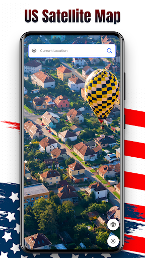
🌐 Live Satellite Map & Route Finder
Explore real-time satellite images with high detail to get an accurate view of your surroundings. The smart route planner helps you find the fastest and most efficient routes, assisting you in avoiding traffic congestion and roadblocks. This feature is perfect for drivers and commuters seeking reliable navigation during their daily travel.
Nearby Places Finder
Instantly discover restaurants, ATMs, hospitals, gas stations, and other essential services around your current location. Whether you're in unfamiliar territory or just exploring your city, this feature makes finding nearby amenities quick and effortless.
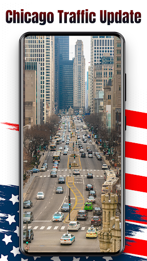
Live Traffic Maps
Stay ahead of delays with real-time traffic updates. The app provides live traffic data so you can plan your route better, avoid traffic jams, and save time during your journeys. Perfect for daily commuters and road trip enthusiasts alike.
Address & Location Finder
Enter any address to receive precise directions. The app's location search feature makes navigation straightforward, whether you're looking for a specific business, landmark, or street address.
My Location Tracker
Instantly find and share your current position on the map. This handy tool is essential for meeting up with friends or sharing your location during adventures.
GPS Camera with Location Tags
Capture photos with embedded GPS coordinates, making it ideal for travelers documenting their trips or professionals recording locations.
Street View & 360° Map View
Take virtual tours with real-time street views and 3D virtual maps. This immersive feature allows you to explore streets, landmarks, and cityscapes before visiting in person.
Save Parking Location
Mark where you parked your car to easily find it later. This saves frustration and time, especially in large parking lots or busy city centers.
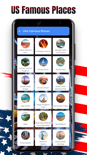
Popular Places & Landmarks
Discover iconic tourist attractions, top sights, and cultural landmarks around the world. Perfect for sightseeing and trip planning.
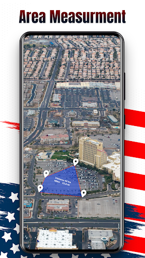
Area & Distance Calculator
Measure land plots or walking distances with ease. This tool is useful for outdoor activities, property planning, or simply satisfying your curiosity.
Sunrise/Sunset & Solar Info
Plan your day with accurate solar timings, making sure you catch sunrise or sunset at your favorite spots.
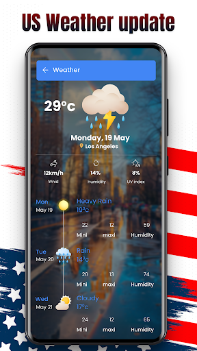
Currency Converter & Live Weather
Convert currencies with live exchange rates and receive real-time weather updates based on your current location. These features are especially beneficial for international travelers.
Language Translator & Digital Compass
Break language barriers with the built-in translator, and find directions easily with the digital compass—perfect tools for global explorers.
Speedometer & World Country Info
Track your traveling speed in real-time and learn interesting facts about countries worldwide, enriching your travel experience.
Why Choose Live Earth Map & GPS Navigation?
This application is more than just a mapping tool—it's a comprehensive travel companion that adapts to your navigation needs. The intuitive interface ensures you won't feel overwhelmed, even with numerous features available. It’s optimized to run efficiently on your device, conserving resources while providing accurate and reliable data. Offline map capabilities allow you to download areas and access them without an internet connection, making it a dependable choice during remote adventures. Whether you're a seasoned traveler or a city commuter, Live Earth Map: GPS Navigation proves to be an invaluable asset for exploring and navigating the world with confidence.
Explore the World with Confidence
Imagine having the ability to visualize the world from above, plan routes, and discover hidden gems—all on a single app. Live Earth Map: GPS Navigation empowers users to explore new cities, trek remote hiking trails, or simply get directions across town with ease. Its combination of detailed satellite imagery, live traffic updates, and versatile tools makes it an essential app for anyone passionate about travel, geography, or simply navigating their daily life efficiently. Download now to unlock the ultimate GPS navigation experience and start your journey with confidence!
Pros
- Real-time GPS updates and navigation
- High-quality satellite imagery
- User-friendly interface
- Offline map access available
- Customizable map views
Cons
- Requires constant internet for updates
- Ads can be intrusive at times
- Some features behind paywall
- Occasional lag in real-time updates
- Limited customization in navigation


