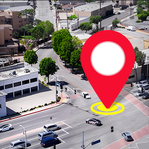


Explore the World Seamlessly with the GPS Satellite Map, Live Camera App
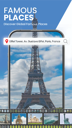
Discover a new way to navigate and explore your surroundings with the GPS Satellite Map, Live Camera app. Designed to enhance your travel experience, this advanced GPS app integrates satellite imagery, real-time street views, live camera feeds from some of the world's most famous locations, and intelligent navigation features. Whether you are a daily commuter, a traveler, or someone who loves virtual exploration, this app offers a comprehensive package to meet your needs.With its intuitive interface, you can effortlessly find new routes, navigate to nearby places around your current location, and enjoy the thrill of viewing live streams from global landmarks and scenic spots. The app's capacity to provide real-time public camera streaming from airports, nature scenes, traffic cameras, and even space station videos makes it a versatile tool for both practical navigation and virtual sightseeing.One of the standout features is voice navigation, which offers hands-free driving directions, allowing you to keep your focus on the road while receiving clear, spoken instructions. This feature is especially beneficial during long drives or when navigating unfamiliar cityscapes. Combine this with live satellite views, 3D street mapping, and up-to-date traffic information, and you get a powerful navigation companion that transforms how you explore your environment.Beyond simple directions, the app enables you to discover [famous landmarks, scenic spots, cityscapes, and tourist destinations] through live earth camera streaming and panoramic 360° views. Planning a trip has never been easier—get instant updates on traffic, choose the shortest or fastest routes, and explore cities with detailed 3D maps. You can even measure land areas accurately with the integrated area measurement calculator, making it practical for real estate or land management.Download the app today to experience high-quality satellite views, live GPS routes, and real-time traffic updates—all in one user-friendly platform.
Key Features of the GPS Satellite Map, Live Camera App
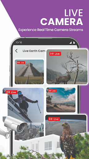
Live Earth Camera Collection
Access live streaming footage from various global locations, giving you a real-time glimpse of iconic landmarks, busy airports, and serene nature scenes.
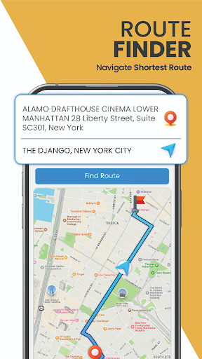
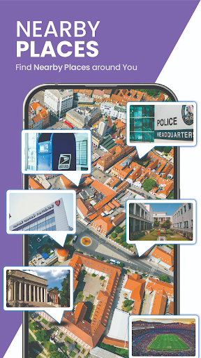
Advanced Navigation & Location Finder
Find routes to any destination, explore nearby places, and locate your current position with precision. The app's offline map feature ensures you are never lost, even without internet access.
Voice Navigation
Experience hands-free navigation with clear voice instructions that guide you through city streets or rural roads, keeping your attention on the journey.
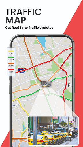
Real-time Traffic Maps
Stay updated on traffic flow and congestion situations. The app suggests alternative routes to help you avoid delays and reach your destination faster.
Live Location Sharing
Easily share your real-time location with friends or family directly from the app for safer travel.
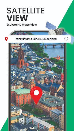
3D Satellite & Street Views
Explore streets and terrains in 3D, getting a virtual perspective of your surroundings and planning routes more effectively.
Why Choose This App for Your Navigation & Exploration Needs?
Imagine having a digital guide that not only directs you but also shows you the world in real-time. If you've ever felt lost or curious about a destination, the GPS Satellite Map, Live Camera app is like your personal travel companion. It combines the power of satellite imagery with live camera feeds, giving you an immersive experience that elevates traditional navigation apps.The app's core strength lies in its ability to provide accurate GPS positioning combined with live visuals—perfect for planning routes, exploring new cities, or virtually visiting scenic locales from your home. Whether you're trying to understand the traffic situation on your route or want to see a live view of your destination, this app offers a gateway to the world at your fingertips.For travelers, the real welcome is in the ability to preview landmarks and scenic views through live cameras, making trip planning both interactive and engaging. For everyday commuters, real-time traffic updates and alternative route suggestions can save valuable time. The inclusion of features like 3D maps and land measurement tools ensures this app addresses both beginner and advanced navigation needs.If you love exploring or need a reliable map for daily use, download the GPS Satellite Map, Live Camera app today and redefine your experience of navigation and virtual travel. From stunning satellite imagery to live streaming of world-famous places, this app brings an adventure right to your device.
Pros
- High-resolution satellite imagery.
- Real-time GPS tracking.
- User-friendly interface.
- Live camera integration.
- Offline maps available.
Cons
- Consumes significant battery life.
- Requires internet connection for updates.
- Some features are only available via premium plan.
- Contains advertisements in the free version.
- Limited customization options.


