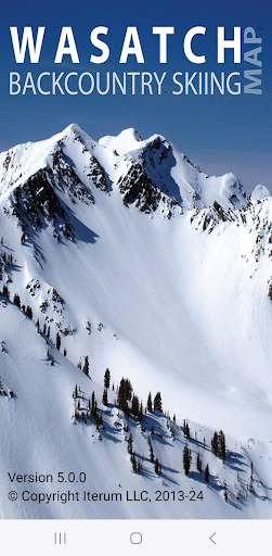


Discover the Features of the Wasatch Backcountry Skiing Map App
The Wasatch Backcountry Skiing Map (WBSkiing) is an essential mobile application designed for backcountry enthusiasts exploring Utah’s renowned Wasatch Range. Available for Android devices, this app is the digital counterpart to the popular paper map and website (see WBSkiing.com). It offers a comprehensive and user-friendly platform to access over 1,000 backcountry locations in Utah’s Central Wasatch mountains, making it an indispensable tool for both hikers and backcountry skiers. With its intuitive interface, the app leverages your device’s GPS to provide real-time positioning on a detailed topographical map. Whether you’re plotting your route or looking for a safe descent, this app ensures you have the most relevant information at your fingertips.
Key Functionalities for Safer Backcountry Adventures
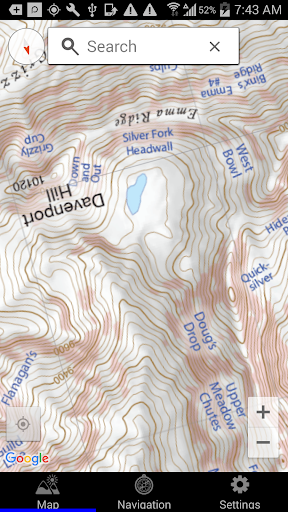
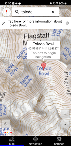
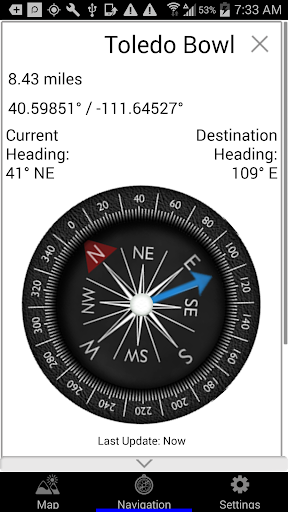
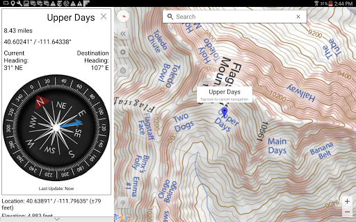
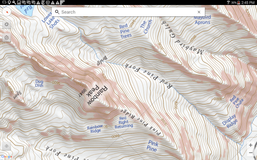
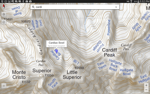
One of the standout features of the Wasatch Backcountry Skiing Map is its ability to display your current elevation, latitude, and longitude, empowering you to navigate confidently in remote terrain. The app's high-resolution topo maps vividly delineate slope angles, with reddish shading indicating slopes approximately 30 degrees or steeper. This visual cue is crucial for assessing avalanche risk and reducing exposure when traversing hazard-prone terrain. Additionally, the app can send your live location via email to ensure your position is recorded and shareable, which is vital for safety and emergency situations.
Extensive Location Data and Community Insights
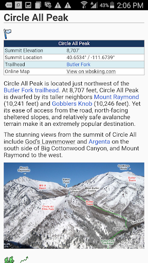
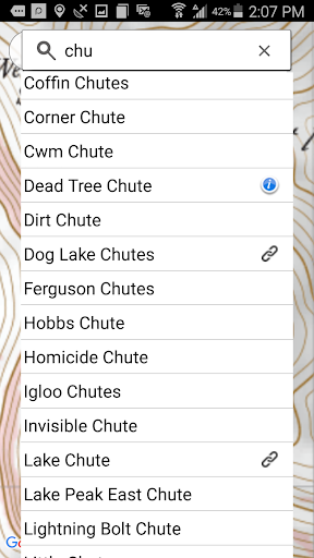
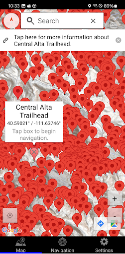
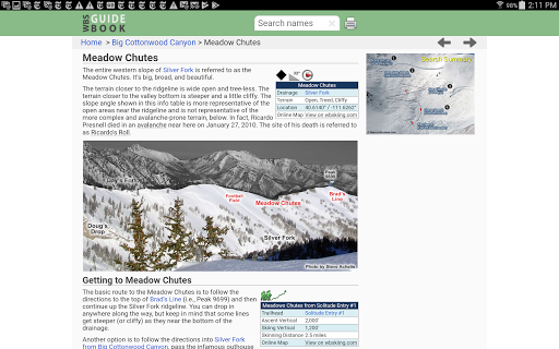
The WBSkiing app links to over 200 locations that are further detailed on WBSGuide.com, where you can access in-depth information about each site, including skiing difficulty, skinning distances, vertical climb, and parking considerations. This makes trip planning effortless and informed, helping you pick the best spots that match your skill level and current conditions. The app’s offline capabilities mean you don’t need cell service, allowing you to venture into the backcountry knowing you’ll still have access to critical maps and data without relying on network coverage.
User Experience and Community Engagement
Designed with the skier in mind, the interface of the Wasatch Backcountry Skiing Map is straightforward and easy to navigate. It not only assists in navigation but also enhances the overall backcountry skiing experience by providing real-time updates on snow conditions and weather forecasts. Many users appreciate the ability to track progress during their adventures, creating a personalized skiing diary to review or share their experiences. Beyond individual use, the app fosters a community of backcountry explorers who can exchange tips and recommendations, making group outings more coordinated and enjoyable.
Why the Wasatch Backcountry Skiing Map is a Must-Have for Ski Enthusiasts
Whether you’re a seasoned backcountry skier or a winter adventurer looking to explore Utah’s stunning mountains, this app offers invaluable features to elevate your trips. Its detailed maps, real-time snow and weather updates, and comprehensive location data serve to maximize safety and enjoyment on every excursion. The ability to discover hidden trails and stay informed about avalanche hazards makes it not just a navigation tool, but a vital safety companion. Plus, with its offline capabilities, you can confidently head into remote areas without worry. The versatile functionalities combined with community features make Wasatch Backcountry Skiing Map an indispensable part of any backcountry skier’s toolkit.
Pros
- Comprehensive trail coverage for accurate navigation
- Offline maps for areas without cell service
- Regular updates introducing new trails and features
- User-friendly interface that improves usability
- Access to detailed topographic information
Cons
- Limited to the Wasatch region
- Restricted usability outside the region
- Requires storage space for offline maps
- Subscription required to unlock all features
- Interface may be overwhelming for beginners
- Does not include real-time weather updates


