Frequently Asked Questions
What is the Wasatch Backcountry Skiing Map app?
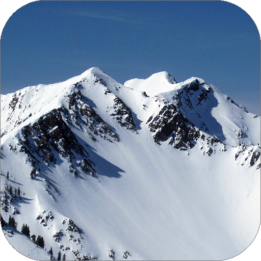
The Wasatch Backcountry Skiing Map app is a specialized mapping tool designed for backcountry enthusiasts exploring the Wasatch Range. It offers detailed topographic maps, route planning assistance, and essential information about avalanche-prone areas to promote safer skiing by improving terrain understanding.
Is the Wasatch Backcountry Skiing Map app available for both Android and iOS devices?
Yes, the app can be downloaded on both Android and iOS platforms. It is available on the Google Play Store for Android users and the Apple App Store for iOS users, making it accessible to a broad audience of skiing enthusiasts.
How does the Wasatch Backcountry Skiing Map app help with avalanche safety?
The app provides critical data on avalanche-prone zones, slope angles, and historical avalanche paths. It offers real-time updates and detailed terrain information to help users assess risks and make informed decisions to avoid hazardous areas, thereby enhancing safety during backcountry skiing.
Can I use the Wasatch Backcountry Skiing Map app offline?
Yes, the app supports offline use. Users can download maps and essential data to access when outside mobile service areas, which is especially useful for backcountry skiers in remote locations with limited connectivity.
Does the Wasatch Backcountry Skiing Map app require a subscription or one-time purchase?
The app generally requires a one-time purchase to access its full features. However, pricing and subscription options can vary, so users should verify the latest details on the app store regarding costs and in-app purchases.
You May Like

Waze Navigation & Live Traffic
Maps & Navigation
4.8
Radarbot: Radar Detector, GPS
Maps & Navigation
4.1
Yango: taxi, food, delivery
Maps & Navigation
4.9
Lyft
Maps & Navigation
4.9
Careem: rides, food, grocery
Maps & Navigation
4.6
Grab Driver: App for Partners
Maps & Navigation
4
Sygic GPS Navigation & Maps
Maps & Navigation
4.6
Street View Map and Navigation
Maps & Navigation
3.5
All-In-One Offline Maps
Maps & Navigation
4.3
Île-de-France Mobilités
Maps & Navigation
3.5
Phone Locator: Family Location
Maps & Navigation
4.2
GPS Maps & Location Tools
Maps & Navigation
4.7