


Discover the Ultimate Live Satellite View GPS Map & Navigation App
Have you ever dreamed of glancing at any corner of the world right from your smartphone? Live Satellite View GPS Map is a powerful, feature-rich application designed to bring the globe to your fingertips. Whether you're planning a trip, exploring new places, or simply curious about what the world looks like from above, this app offers an unmatched virtual experience packed with advanced navigation, satellite imagery, and user-friendly features.
Unveiling Key Features of Live Satellite View GPS Map
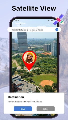
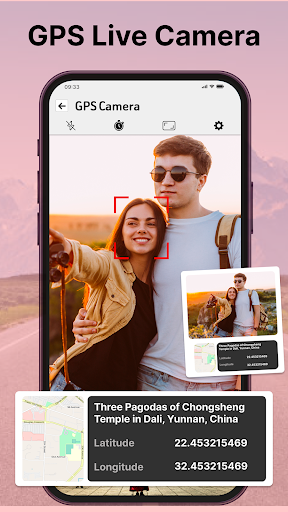
Real-Time Satellite Imagery for an Unmatched Perspective
This app's standout feature is its capability to display live satellite imagery. Imagine having your very own spy satellite — zoom in on any location and see breathtaking details as if you were hovering over it. The images are frequently updated, ensuring you always view the most recent landscapes and cityscapes. Whether you’re exploring a famous landmark or a hidden alley, sharp and detailed imagery enhances your virtual tour experience.
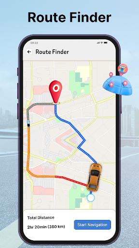
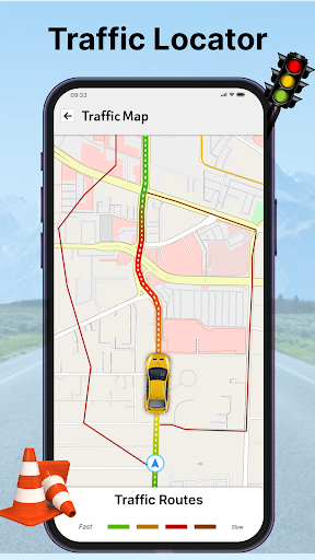
Seamless GPS Navigation & Route Planning
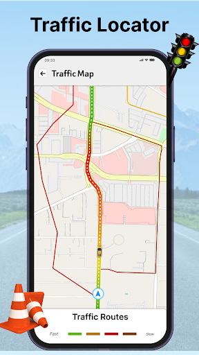
Beyond satellite views, the app integrates comprehensive GPS functionality. Easily find your current location, search for destinations around the globe, and navigate confidently. Whether you're walking, driving, cycling, or using public transportation, the app offers voice-guided directions, re-routing during traffic, and estimated time calculations — making travel planning effortless and efficient.
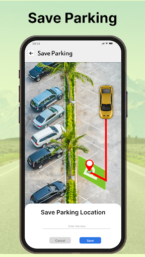
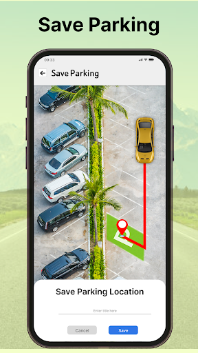
Offline Maps & Route Saving for Uninterrupted Exploration
Travelers can save maps of any country for offline use, ensuring connectivity isn’t a barrier when exploring remote areas. Additionally, the route saving feature allows you to store your favorite paths for quick access later. Planning trips in advance or recording routes during adventures has never been easier.
Street View, 3D Maps & Landmarks
Get up close with street view images of famous landmarks, shopping malls, airports, and even inside buildings like markets or airports. The app provides both 2D and 3D maps, giving you a rich, immersive exploration experience with voice instructions and detailed directions.
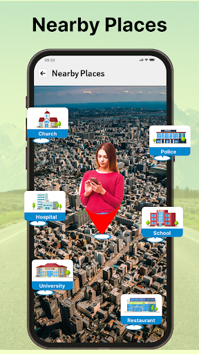
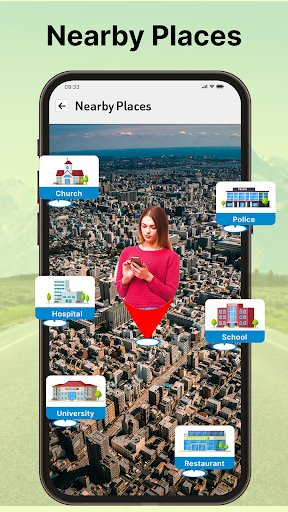
Worldwide Coverage & Detailed Geographic Information
With maps covering all countries and detailed geographic data, the app enables you to discover local hospitals, restaurants, ATMs, hotels, bus stops, and metro stations around the world. It’s the perfect companion for tourists, adventurers, or anyone navigating unfamiliar territories.
Enhanced Navigation & Exploration Capabilities
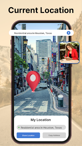
Track Anywhere & Share Your Journey
Effortlessly track your route in real-time and share your progress with friends or colleagues. The GPS Live Street Map ensures you stay oriented and informed on your current location while offering quick access to nearby points of interest.
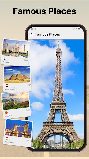
Virtual Tour & World Landmarks
Explore iconic seven wonders of the world, historic sites, and visit landmarks like the India Map, London, or the United States with stunning satellite imagery. It’s an educational tool that brings geographical wonders to life, perfect for students and globetrotters alike.
User-Friendly Interface & Convenient Features
The app boasts a simple GUI that makes navigation intuitive, even for beginners. Features like QR code scanning for sharing locations, saving favorite places, and voice commands allow for a smooth, engaging user experience. Plus, the app is available for free on Android devices, making it accessible to everyone eager to explore the world virtually.
Why Choose Live Satellite View GPS Map?
This app isn’t just about maps—it's about bringing the world closer. Whether you're planning a trip, exploring from your living room, or educating yourself about global geography, it offers a realistic, diverse, and immersive experience. The integration of live satellite imagery, detailed navigation, offline maps, and simple controls makes it the go-to travel companion and virtual explorer for users worldwide.
Embark on Your Virtual Adventure Today
Enjoy the convenience of exploring any location across the globe with the Live Satellite View GPS Map app. Experience real-time satellite images, seamless navigation, and comprehensive geographic data—all in a single, easy-to-use platform. Download now from the Google Play Store and begin your journey through the world’s wonders from the comfort of your device!
Pros
- High-resolution satellite imagery
- Real-time location tracking
- User-friendly interface
- Offline maps available
- Frequent updates
Cons
- Consumes a lot of data
- Limited features in free version
- Ads can be disruptive
- Occasional lag in loading maps
- Requires constant GPS access


