
OpenCPN: A Comprehensive Marine Chart Plotter and Navigator
OpenCPN is a full-featured Chart Plotter and Navigator application designed to enhance marine navigation. Building upon the extensive experience and proven reliability of its desktop counterpart, OpenCPN for Android brings many advanced features directly to your mobile device, offering a seamless and powerful maritime navigation experience. Whether you are cruising, racing, fishing, or working professionally on the water, OpenCPN provides the tools necessary for increased safety, efficiency, and enjoyment on your voyages.
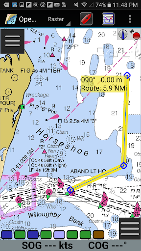
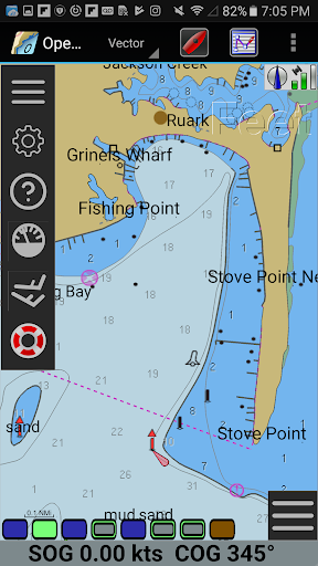
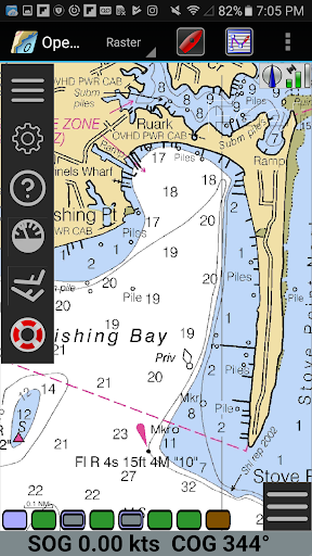
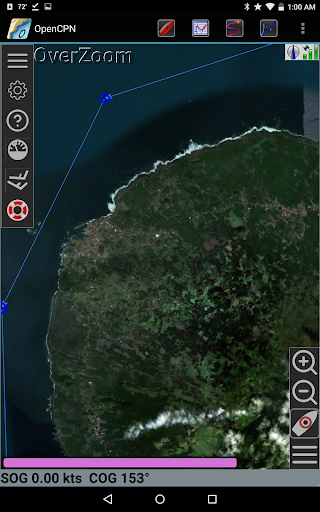
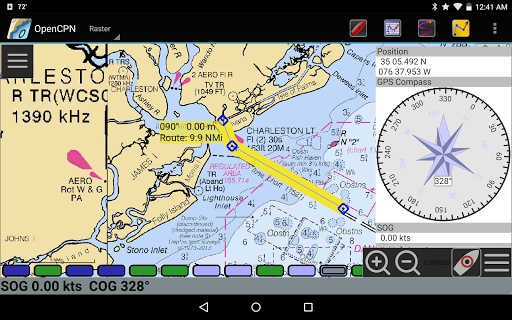
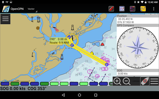
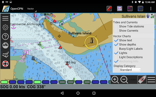
This innovative app supports a wide variety of chart formats, including BSB v3 raster charts (RNC), S57 vector charts (ENC), and CM93 vector charts with per cell offset corrections. It also allows overlaying of MBTiles chart data, making it adaptable to both commercial and recreational needs. The integrated system includes a Chart Downloader that simplifies updating your charts and offers multiple display modes such as single-chart and quilting display modes.
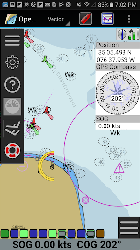
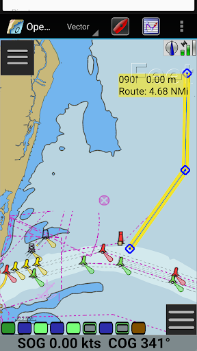
Navigation features are robust, catering to various user preferences. You can choose from different display modes, including North-up, Course-up, Chart-up, and Moving-map modes, giving you flexibility based on the situation. Route navigation capabilities, combined with ship tracking functions, make for a highly intuitive experience. The app supports waypoint navigation, enabling precise course plotting and tracking. Additionally, users can choose between True North or Magnetic North navigation for added customization.
Advanced Hardware Integration and Maritime Safety Features
OpenCPN excels in integrating with various hardware peripherals, including device GPS, Bluetooth remote GPS, and network GPS devices through TCP/UDP protocols. Its NMEA 0183 interface ensures compatibility with most marine electronics, while its advanced NMEA message handling offers built-in multiplexing for complex system configurations.
Autopilot support allows remote control of vessel direction, promoting safer and more efficient navigation. The app’s networked AIS input provides full target tracking and collision alerts, crucial for avoiding hazards in busy waterways. It also supports AIS for SART with selectable MMSI for automatic Man Overboard (MOB) handling, along with DSC and GPSGate integration, expanding situational awareness significantly. The anchor watch function continuously monitors your vessel’s position and raises alarms if it drifts beyond set parameters.
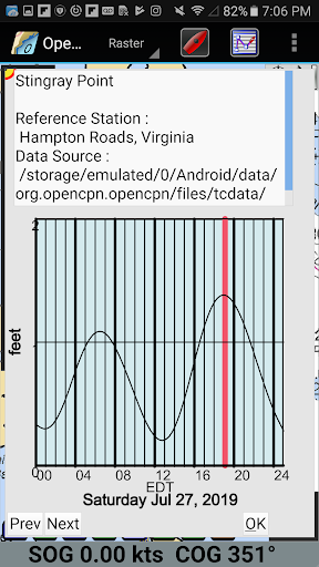
For trip planning and analysis, OpenCPN offers GPX waypoint, track, and route input/output support, along with tidal and current prediction tools by location. Its built-in great-circle routing feature ensures the most accurate and efficient routes are plotted, factoring in ocean currents and tides for optimal navigation. Users can annotate charts with GPX Layers, customize display themes, and access Google Maps integration for additional mapping options. The app also provides links to an eBook User Manual for easy reference.
Community, Customization, and User Experience
By choosing OpenCPN, you join a vibrant, worldwide community dedicated to advancing electronic charting technologies tailored to diverse marine applications. The open-source nature ensures continual improvements, bug fixes, and feature enhancements contributed by an active user base and developers. This collaborative environment fosters an ever-evolving platform that adapts to your specific needs.
The easy-to-use interface is designed for sailors of all experience levels. Features such as smooth zooming, waypoint marking, and real-time data monitoring are intuitively accessible, making navigation tasks natural and straightforward. Whether you prefer a simple map view or detailed chart overlays, OpenCPN offers flexible display options and thematic customization to suit your preferences.
Additionally, the app’s integration with popular chart formats and hardware peripherals ensures compatibility and expandability. Its user-friendly setup process and reliable performance across devices make it an ideal navigation companion for both casual cruisers and professional mariners.
Final Thoughts
If you are seeking a robust, free, and open-source marine navigation solution, OpenCPN stands out as a top choice. Its comprehensive set of features and active community support make it a reliable and versatile tool for safe navigation at sea. Whether planning routes, tracking ships, or monitoring weather and tides, OpenCPN equips mariners with the technology they need to explore the oceans confidently. Download it today and embark on your next adventure with a trusted navigator by your side.
Pros
- User-friendly interface that makes navigation easy
- Supports a variety of chart formats
- Provides real-time weather updates
- Customizable through plugins
- Open-source with an active community
Cons
- Requires initial setup and has a learning curve
- Limited support for mobile devices
- Some features depend on internet connectivity
- Occasional bugs in the software
- Interface may appear outdated to some users


