Live Earth Map- Satellite View icon

Live Earth Map- Satellite View

562.00
2.9
Installs
0.50M
Version
1.0.29
Advertisement
Live Earth Map- Satellite View screenshot
Advertisement

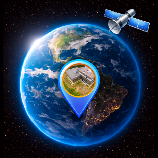
Explore the World with Live Earth Map - Satellite View

Are you passionate about discovering new places, but can't always travel physically? Live Earth Map - Satellite View is your ultimate virtual globe-trotting companion. This innovative app allows users to explore the world from a bird's eye perspective, delivering a rich and immersive experience that feels like having a mini spaceship right in your pocket. Whether you’re a curious traveler, a geography enthusiast, or someone seeking a reliable way to explore regions remotely, this app is designed to satisfy your wanderlust from the comfort of your home.The app's intuitive interface makes navigation simple, even for beginners. Upon opening, you'll be greeted with high-resolution satellite imagery that can be zoomed in and out effortlessly. From iconic landmarks like the Eiffel Tower to remote natural wonders, everything is displayed with crisp detail. This makes Live Earth Map - Satellite View comparable to popular apps like Google Earth but with added personal touches and interactive features that keep the experience engaging and educational.

Key Features of Live Earth Map - Satellite View

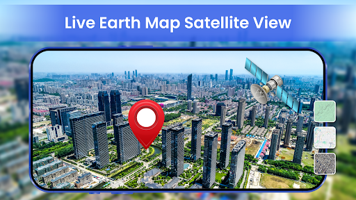
Real-time Satellite Imagery

One of the standout features is the ability to view real-time satellite imagery. This allows users to see current weather conditions, ongoing events, or simply get a snapshot of a location's current state across the globe. This feature is perfect for those who want up-to-date visuals for planning trips or satisfying their curiosity about distant places.

Street View Exploration

Want to virtually stroll through a neighborhood? The Street View feature offers an immersive perspective on streets, landmarks, and neighborhoods. Whether it's wandering down Times Square or exploring the historic streets of Rome, users can preview destinations as if they were actually there, helping to plan visits and get a feel for the environment before visiting in person.

Offline Mode & Map Saving

Travel plans can be unpredictable, but with the offline mode, you can download maps and access them without internet connectivity. This feature is invaluable for travelers on the move, ensuring seamless exploration regardless of network access, and conserving data while navigating foreign locations.

Current Weather & Environmental Conditions

Stay informed about weather updates at your selected locations with live weather information. Knowing the current weather helps in planning outdoor activities and understanding climate patterns across different regions.

User Experience & Performance

This app prides itself on smooth and fast performance across various devices, including Android and iOS. The optimized design ensures minimal battery drain and lag, providing a satisfying user experience. Its responsive controls and high-quality visuals make navigation effortless, whether you're zooming into a cityscape or exploring vast natural landscapes.

Why Choose Live Earth Map - Satellite View?

If you're someone who loves exploring the world or needs a reliable map app for educational or planning purposes, Live Earth Map - Satellite View is a must-have. It combines real-time imagery, detailed street views, and offline accessibility, making virtual globe-trotting easier and more engaging than ever before.This app also serves as a fantastic resource for students, teachers, and geography buffs looking to understand different terrains and urban structures from a global perspective. Its user-friendly design and powerful features create both an educational and entertaining experience. Whether you're planning your next trip or just exploring from your couch, this app offers an unmatched window into our planet's diverse and vibrant landscapes.In conclusion, Live Earth Map - Satellite View is more than just a map application; it's a portal to explore the world virtually with stunning visuals and practical tools. Download the app today and start your journey around the globe from anywhere in the world!

Pros

  • Real-time satellite imagery.
  • Street view option available.
  • User-friendly interface.
  • Detailed terrain maps.
  • Offline maps feature.

Cons

  • Requires internet connection.
  • Advertisements can be intrusive.
  • Limited offline capabilities.
  • Occasional delays in loading maps.
  • Not all regions are regularly updated.
Advertisement

You May Like

Lyft

Lyft

Maps & Navigation

4.2