


Explore the World with Satellite Map Live Earth View
Discover a new era of navigation and global exploration with Satellite Map Live Earth View. This innovative application transforms how you interact with our planet, offering a comprehensive suite of features including 360 satellite exploration, live earth map HD, immersive 3D satellite view, and advanced smart GPS route maps. Designed as a powerful GPS Maps app, it provides realistic visual maps, dynamic navigation tools, and an interactive Live GPS Map to make discovering and navigating the world easier than ever before.
With access to high-resolution satellite imagery, users can enjoy real-time earth map visuals and explore remote locations with clarity, thanks to the latest live earth satellite 2025 technology. Whether planning a trip or just browsing the globe from your device, this app offers a seamless experience that combines detailed earth visuals with precise navigation capabilities.
Global Exploration with Live Satellite View
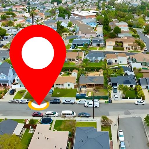
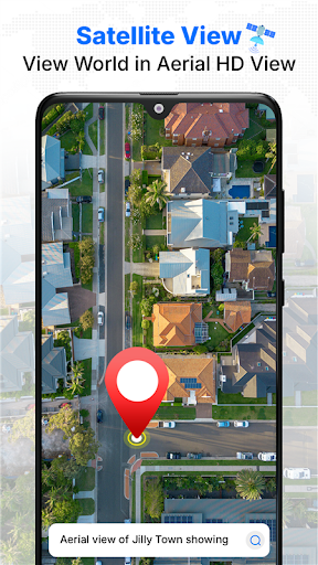
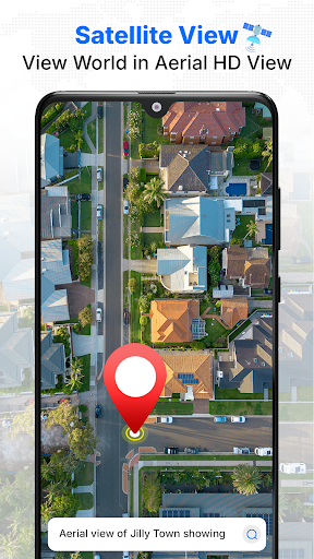
The core strength of Satellite Map Live Earth View lies in its high-quality satellite imagery that unlocks the entire world. From sprawling cities to natural landscapes, the app provides an updated, real-world visuals featuring iconic landmarks, terrain, oceans, and less-known regions. Support from the live earth satellite 2025 ensures that visuals are sharper and more detailed, offering an immersive experience for users who want to explore the globe virtually.
Navigate effortlessly through impressive 3D satellite view and live earth maps, gaining a realistic perspective of the world's geography. The vibrant visuals help users appreciate the diversity of our planet and foster a sense of exploration from the comfort of their homes or while on-the-go.
Accurate Navigation Made Simple
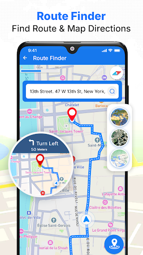
Equipped with built-in turn-by-turn GPS navigation, the app ensures you get precise directions whether you’re driving, walking, or exploring remote areas. The route planner satellite feature assists in selecting the most efficient paths, making travel planning straightforward. With hands-free voice navigation, you can focus on the journey while receiving clear, spoken instructions.
Switch from map view to detailed street-level satellite view to get a closer look at your surroundings and better understand your route in real time. The app’s integration of street maps & live location features helps users explore their surroundings more intuitively, whether in urban environments or rural landscapes.
Live Location Tracking and Real-Time Road Data
The app’s live location feature allows you to see your current position with high accuracy, making navigation precise and stress-free. Use the street view maps live to observe nearby streets, landmarks, and city structures, giving a realistic feel of where you are.
Stay ahead of traffic with live traffic alerts and up-to-date road conditions. The integrated traffic map provides real-time updates, helping you avoid delays and reach your destination smoothly. The GPS location with traffic map feature is perfect for daily commuting or adventurous road trips, ensuring you stay informed every step of the way.
Key Features that Enhance User Experience
- 360 satellite coverage providing global imaging
- Speedometer with maximum and average speed display
- High-resolution 3D satellite view with realistic imagery
- Built-in compass to help determine precise directions
- Live earth map HD with continually updated terrain and city maps
- Real-time maps powered by GPS for accurate navigation
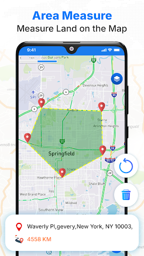
- Area measurement to calculate property and land sizes
- Interactive zoom and customizable layers for detailed exploration
- Turn-by-turn navigation with optional voice guidance
- Street-level satellite view for close-up urban and rural exploration
Experience Virtual Travel Anytime, Anywhere
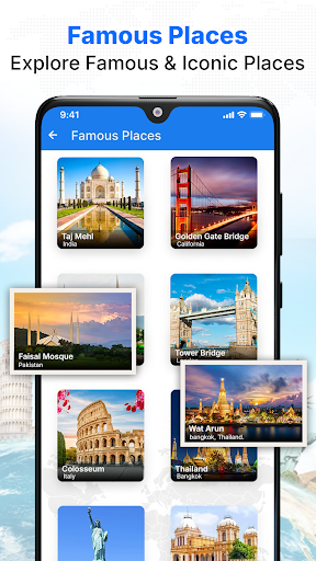
Imagine exploring the world's most famous landmarks or discovering hidden gems without leaving your couch. With Satellite Map Live Earth View, you get a virtual **tour guide** in your pocket. Whether it’s getting a bird’s eye view of the Eiffel Tower, walking through the streets of Marrakech, or delving into remote wilderness, this app makes it all accessible.
The 3D view allows for customizable camera angles, tilting, and zooming, giving you a dynamic perspective. For astronomy enthusiasts, features like a stellar map let you gaze at stars and planets, adding an extra layer of exploration. The smooth and intuitive user interface ensures an enjoyable experience, with minimal lag and clutter, even when handling complex visuals and real-time data.
Final Thoughts
Whether you're a passionate traveler, student, or curious explorer, Satellite Map Live Earth View is a must-have tool for virtual journeying and geographic discovery. It blends detailed visuals, accurate navigation, and interactive features to bring the world to your fingertips. Download this app today and let your inner adventurer roam the globe, all from the comfort of your device!
Pros
- High-resolution satellite imagery.
- Real-time weather updates.
- Intuitive and user-friendly interface.
- Availability of offline maps.
- Street and terrain visualization.
Cons
- High data consumption.
- Limited offline functionalities.
- Presence of in-app purchases.
- Frequent advertisements.
- Drains device battery.