Frequently Asked Questions
What features does Satellite Map Live Earth View offer?
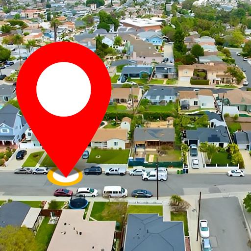
Satellite Map Live Earth View provides a variety of features including real-time satellite imagery, street maps, and 3D terrain views. Users can explore detailed geographic locations, receive live traffic updates, and view space perspectives. The application also includes GPS navigation and local search options, making it a versatile tool for both casual users and professionals.
Is Satellite Map Live Earth View free to use?
Yes, Satellite Map Live Earth View is available for free download and use. However, it offers in-app purchases for additional features. Some advanced options, such as an ad-free experience and enhanced map details, may require a subscription or a one-time payment. Users can opt to upgrade based on their preferences.
How accurate is the real-time satellite imagery?
The real-time satellite imagery from Satellite Map Live Earth View is highly accurate and sourced from reputable satellite providers. The update frequency varies depending on location and coverage. Major cities typically receive frequent updates, while remote areas may experience slight delays.
Can I use Satellite Map Live Earth View for offline navigation?
Satellite Map Live Earth View mainly relies on internet connectivity for live updates and navigation. Nonetheless, it features an offline mode allowing users to download specific maps for use without an internet connection. This is especially useful when traveling to areas with limited connectivity.
What devices are compatible with Satellite Map Live Earth View?
Satellite Map Live Earth View is compatible with most Android and iOS devices. It generally requires at least Android 5.0 or iOS 11.0 to operate properly. Users should verify device compatibility before downloading to ensure full access to all features.
You May Like

Booking.com: Hotels & Travel
Travel & Local
4.8
Google Earth
Travel & Local
3.8
Trip.com: Book Flights, Hotels
Travel & Local
4.6
Expedia: Hotels, Flights, Cars
Travel & Local
4.8
Skyscanner Flights Hotels Cars
Travel & Local
4.8
Hotels.com: Travel Booking
Travel & Local
4.8
Ryanair
Travel & Local
3.9
MAPS.ME: Offline maps GPS Nav
Travel & Local
4.1
CheapOair: Cheap Flight Deals
Travel & Local
4.7
Viator Tours & Attractions
Travel & Local
4.9
Spirit Airlines
Travel & Local
4.7
U-Haul
Travel & Local
3.3