


Introduction to Organic Maps: Hike Bike Drive
Discover **Organic Maps**, a free, open-source map application designed for outdoor enthusiasts and everyday explorers alike. This app is crafted with a focus on **privacy**, **performance**, and **user experience**, offering a navigation solution that respects your rights and keeps your data safe. Whether you're planning a hiking adventure, cycling trip, or simply navigating urban streets, Organic Maps provides an offline mapping experience that is both reliable and user-friendly. With features powered by the **OpenStreetMap** community, it ensures you have detailed maps that are constantly being improved without intrusive advertisements or data collection.
Key Features of Organic Maps
Organic Maps boasts a rich set of features tailored for outdoor adventurers and casual users alike, including:
Offline and Detailed Maps
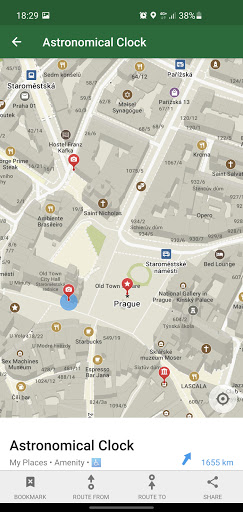
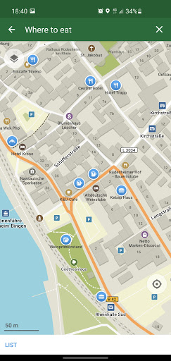
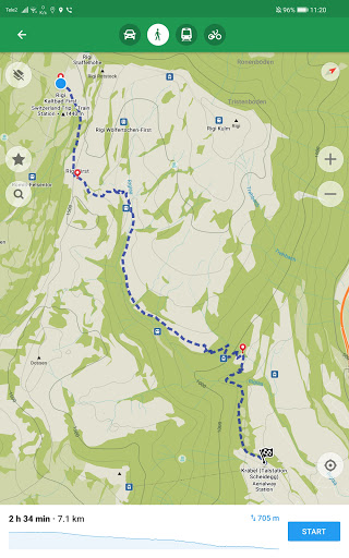
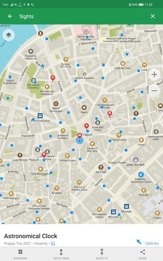
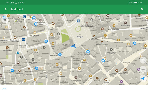
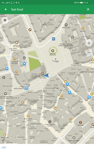
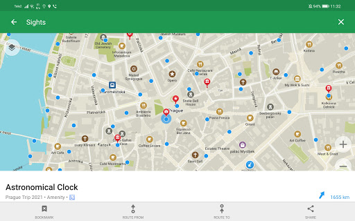
Thanks to contributions from the OpenStreetMap community, Organic Maps offers detailed offline maps with access to places often missing from commercial map services like Google Maps. You can explore hiking trails, cycling routes, walking paths, and local points of interest such as cafes, restrooms, and scenic spots—making it a perfect tool for outdoor adventures and urban navigation.
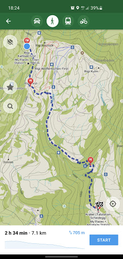
Navigation & Routing
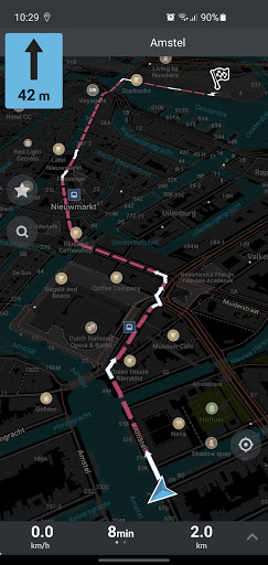
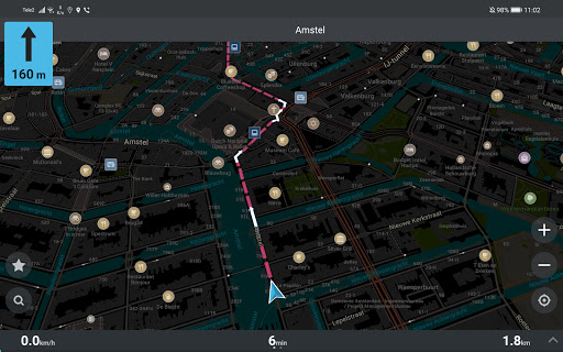
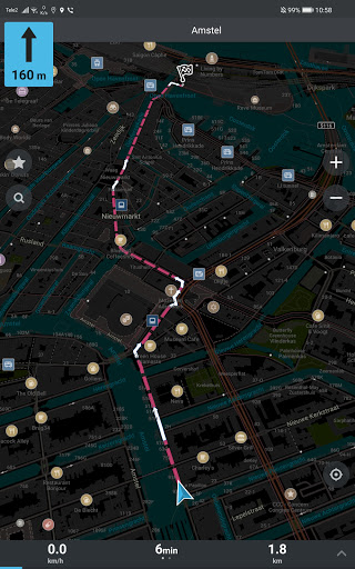
Enjoy turn-by-turn navigation for walking, cycling, or driving, complete with voice guidance and compatibility with Android Auto. This ensures you stay on course whether you're hiking in remote areas or navigating busy city streets.
Additional Tools & Customization
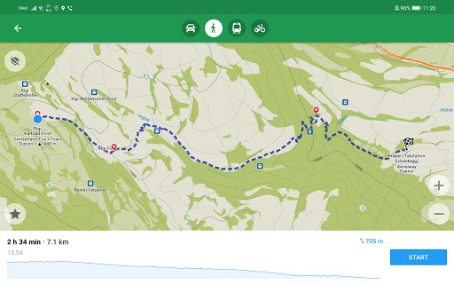
Features include contour lines, elevation profiles, peaks, and slopes to assist outdoor enthusiasts in understanding the terrain. You can also create bookmarks and export or import tracks in formats like KML, KMZ, and GPX. The dark mode option minimizes eye strain during nighttime activities, enhancing your overall experience.
Performance & Privacy
Organic Maps provides a blazing fast offline experience with minimal battery consumption. It is designed to respect your privacy—no ads, no trackers, no data collection, and no phoning home. The app uses only the permissions necessary for operation, verified by the Exodus Privacy report, and is built to protect your personal information.
Community-Driven Development & Support
This project is maintained by an indie community-driven open-source team working passionately in their free time. Users are encouraged to contribute by fixing map errors directly in OpenStreetMap, which then appear in future map updates. If you encounter issues with navigation or searching, you can visit osm.org for troubleshooting or contact the developers via Telegram. Feedback, especially positive reviews, serves as the main motivation for continued development.
Why Choose Organic Maps?
Unlike many mainstream navigation apps, Organic Maps is entirely free from advertising, tracking, and unnecessary data collection. It provides a clean, efficient, and privacy-focused mapping experience that’s perfect for hikers, cyclists, explorers, and anyone who values their digital privacy. By supporting this project with your use, you help improve map details and add new features such as public transport and satellite views in the future.
Final Thoughts
After exploring **Organic Maps**, it’s clear that this app is a reliable and privacy-conscious solution for outdoor navigation. Its offline capabilities, detailed maps, and dedication to preserving your privacy make it a standout in the crowded field of navigation apps. Whether you're embarking on a mountain hike, bike ride, or city stroll, Organic Maps offers the tools you need to navigate confidently and securely. Embrace a map app that respects your privacy and enhances your outdoor experiences—try Organic Maps today and discover the world with confidence!
Pros
- Open-source and supported by the community.
- No advertisements or in-app purchases.
- Provides detailed maps for offline use.
- Prioritizes privacy with no tracking features.
- Offers support for multiple languages.
Cons
- Limited updates for real-time traffic conditions.
- Lacks voice-guided navigation.
- Offline maps consume storage space.
- User interface appears somewhat outdated.
- Occasional inaccuracies in map data.