Frequently Asked Questions
What is the primary purpose of Land Nav Assistant?
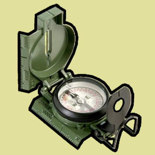
Land Nav Assistant is designed to help individuals improve their land navigation skills by providing tools and resources used in orienteering, hiking, and military training. Features include waypoint plotting, compass integration, and distance measurement to support users in navigating unfamiliar terrains effectively.
Is Land Nav Assistant suitable for beginners in navigation?
Yes, Land Nav Assistant caters to both beginners and experienced navigators. It offers tutorials and a user-friendly interface for novices to learn land navigation basics. Advanced features like detailed waypoint management and compass calibration are available for seasoned users seeking precise tools.
Does Land Nav Assistant require an internet connection to function?
No, Land Nav Assistant can operate offline. Users can download maps and set waypoints before going out, ensuring access to essential navigation tools even in remote areas without internet connectivity, making it reliable for outdoor adventures.
Can I use Land Nav Assistant on both Android and iOS devices?
Yes, Land Nav Assistant is available for both Android and iOS platforms. Its cross-platform compatibility allows access regardless of device type. Users should check the respective app stores for download and installation instructions specific to their devices.
Are there any costs associated with using Land Nav Assistant?
Land Nav Assistant offers a free version with basic navigation features. For additional advanced functionalities, a premium version is available for purchase, which includes extra map layers and waypoint analytics to enhance the navigation experience.
You May Like

Waze Navigation & Live Traffic
Maps & Navigation
4.1
Sygic GPS Navigation & Maps
Maps & Navigation
4.2
Radarbot: Radar Detector, GPS
Maps & Navigation
4.1
Grab Driver: App for Partners
Maps & Navigation
3.9
Yango: taxi, food, delivery
Maps & Navigation
4.8
Careem: rides, food, grocery
Maps & Navigation
4.2
Lyft
Maps & Navigation
4.2
MarineTraffic - Ship Tracking
Maps & Navigation
4.4
Radar, HUD, Map, Speed Camera
Maps & Navigation
4.4
Phone Number Location
Maps & Navigation
4.1
Compass: Accurate Compass
Maps & Navigation
4.7
Phone Tracker & GPS Location
Maps & Navigation
3.5